
Unsettled by the realization that the diagonal counting rule from Pathfinder:
When measuring distance [on a square grid], the first diagonal counts as 1 square, the second counts as 2 squares, the third counts as 1, the fourth as 2, and so on.
is more accurate than hexes for large-scale sailing/trekking, and the accuracy only goes up the more fine-grained your square grid is.
(In a skirmish I’d probably rather use Fate-style zones or something.)
Hexes have a north-east problem. On flat-top, sailing straight east for two hexes gets you 6/7th of the distance sailing straight north for two hexes does. (Reversed for the abomination that is pointed-top hexes.) And here, the finer granularity exacerbates the problem.
Yeah, yeah, you could introduce a rule similar to the diagonal counting rule: for every six hexes you sail straight east or west, you gain one extra. But that’s not great since A fiddly and B an even number of hexes are best when travelling east or west. “Every second three hexes gives you a fourth one” solves B but makes A worse.
My thinking on this stuff isn’t finished. This is just a work-in-progress snapshot. Started with the problem of using a hex-based map generator when you only have square grid paper and came up with something that’s OK: imagine you have a fantasy chess piece that can only make wide horizontal knight moves or vertical dabbabah moves (it can’t make tall knight moves nor horizontal dabbabah moves).
The squares that this piece can reach are the core squares where you put your stuff. It’s the same geometry as staggered 2×2 squares (as opposed to staggered 7:6 bricks) but offset by half a square in X and Y.
That only uses one fourth of all squares so you can draw things a little bigger than each square and use it with a hex topology and hex-style travel rules following the fantasy chess piece limitations (perhaps imagining that squares represent 30 units of width and 35 units of height, perhaps not), or you can use this only while putting in the main zoomed-out features from the generator like terrain types and settlements but then switching to grid thinking once you’re done with the generator.
(All because I had a notebook that doesn’t have any hex pages…)
Here is a quick sketch on a grid using Folkesten’s terrain generator:
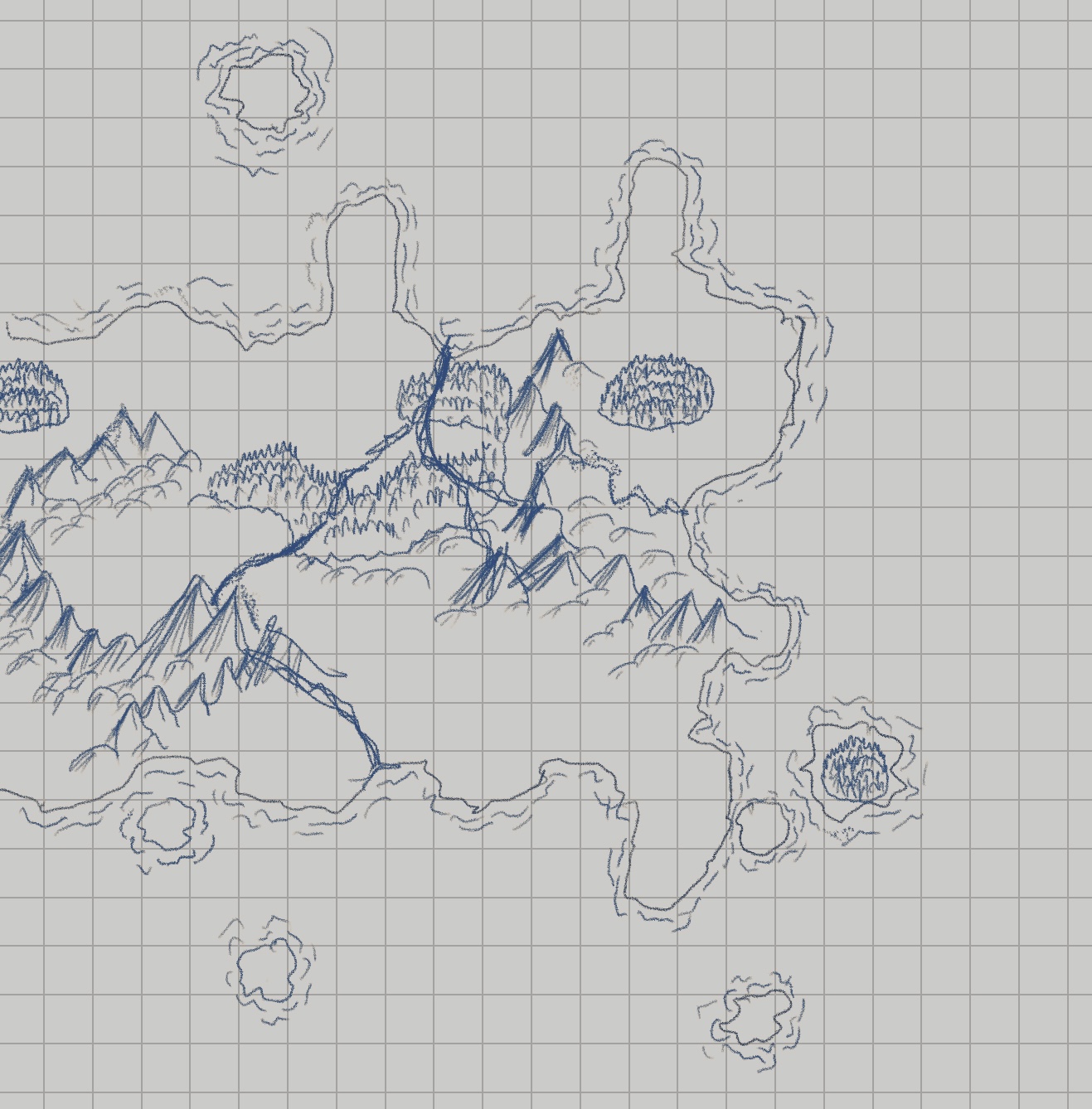
I can not draw hills apparently.
The main difference compared to staggered 2×2 squares are how the one-hex islands here are centered on one square as opposed to the intersection of four squares. That has pros and cons. This is just one more tool for the toolbox.